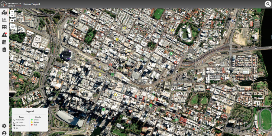
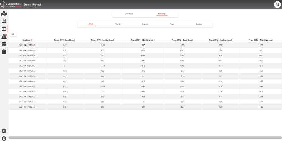
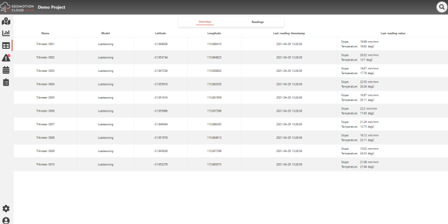
Geomotion Cloud is a cloud based monitoring software for construction and instrumentation projects of all sizes, designed to streamline critical data management with unparalleled configurability. Geomotion Cloud flexible architecture and pricing means that the system may be adapted to suit every project and budget.
Geomotion Cloud was developed as a result of our real world project experience through Asia-Pacific. The user-friendly data hosting platform, provides fast processing and meaningful visual presentation to assist in critical decision making.
Contact us today for a free demonstration and technical evaluation!
Product Launch Date: January 2021
Developed and supported in Australia
Key features
- Developed and operated in Australia
- Nationwide support coverage
- Boutique software site management service
- Automated alarms & alerts via SMS & e-mail
- Customised & automated modular reports
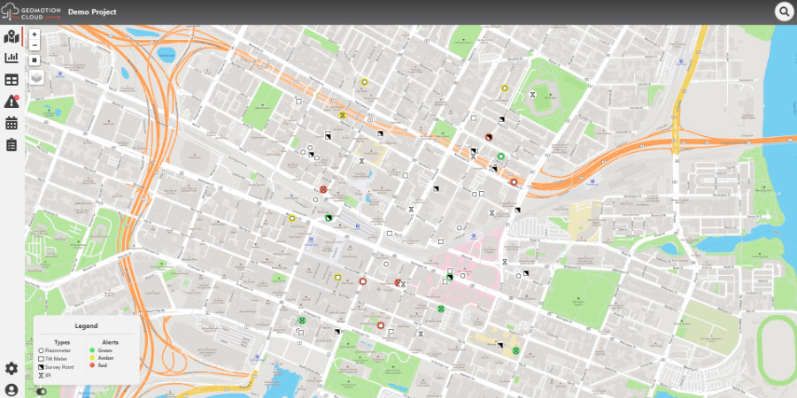
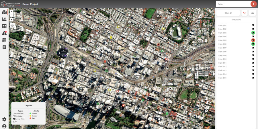
- Intuitive graphical user interface, dashboards, advanced mapping and plots
- Multilevel zoning, administrator & user access
- Interactive InSAR reporting
Product Benefits
With the ability to combine various data streams from different instrument types and manufacturers to be presented on a single portal – from survey to geotechnical instrumentation and vibration monitoring. Ease of navigation is at the heart of the interface design, meaning new users can quickly pick up the system and access the data they need.
- Daily and weekly PDF customised reports sent to your inbox
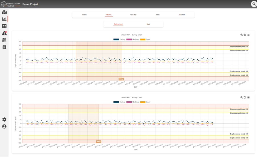
- Clear graphical visualisations to show trends against time. Combine multiple Y axis to compare sensor types.
- Multiple alert threshold setup, customise colours and labels
- Quickly export data to manipulate in spreadsheets and external software suites
- Multilevel user access for administrators and users. Users can also have access restrictions for certain instruments and areas
- Categorised events can be added with comments and displayed on charts and in reports
Product Applications
- Geotechnical & Geohazards
- Smart Cities
- Structural Health Monitoring
- Roadway and Railway monitoring
- Asset Management
- Tailing Storage Facilitations and Open Pit Mining
Geomotion Cloud Demonstration Videos
Structural and geotechnical monitoring software
Mining monitoring software
