Instrumentation & Loggers
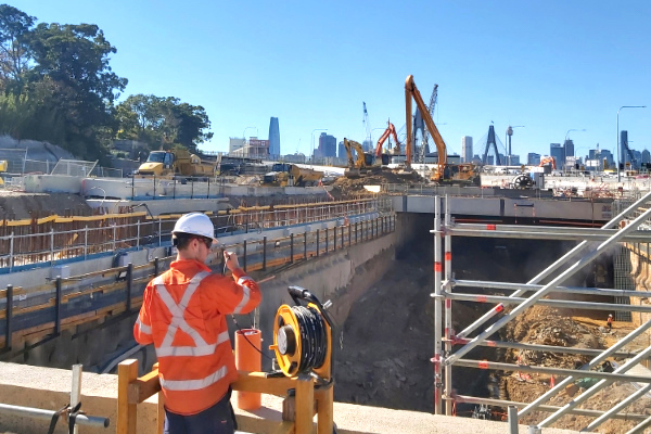
Geomotion supply and install geotechnical and structural instrumentation for monitoring the safety of all rock, earth, and concrete environments and structures, including dams, tunnels, deep excavations, roads, railways, buildings and landslides. Based on state-of-the-art technology, our products are built to an accredited quality control system and designed to withstand the most extreme environments.

Data Management – Geomotion Cloud
Geomotion has been delivering geotechnical monitoring solutions in Australia since 2004. Our vastly experienced team has worked on many high profile construction projects that have taken place in Australia. The interpretation of data is paramount to the successful running of any monitoring project. We offer a range of dedicated software tools to best fit your needs.

Field Installation Services
Proper commissioning of your geotechnical instrumentation is essential to handle critical factors such as time, resource availability and access to specific skills during the establishment of monitoring equipment. Utilising Geomotion’s installation and commissioning services allows you to achieve long-term operational benefits.

InSAR Satellite Monitoring
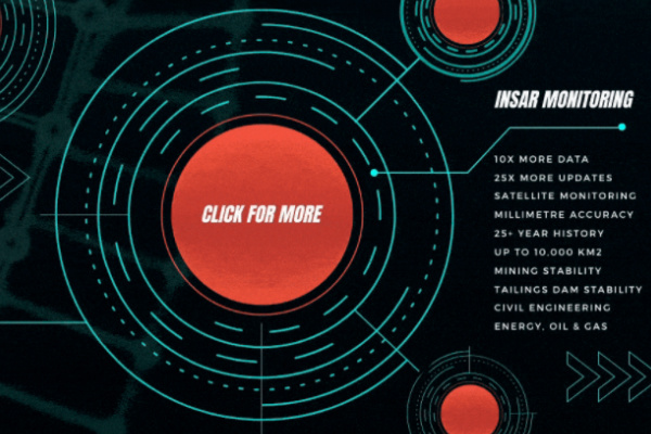
Satellites record images of the Earth, and these images can be combined to measure movements of the ground surface. The standard deviation of location and height of the measurement points is 1 meter for high resolution date and 2.5 meter for standard resolution data. InSAR is particularly useful for monitoring dynamic position changes.