Koolan Island Seawall Remediation, Western Australia
Client: Mount Gibson Iron Ore Pty Ltd
System Installed:
- Borehole Inclinometers – ShapeAcel Array (10)
- Borehole Extensometers (20)
- Vibrating Wire Piezometers (95)
- Data loggers (70)
- Survey Prisms (100)
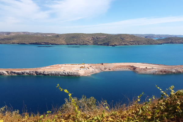
Koolan Island is located one kilometer off the Kimberly coast of northern Western Australia in the Buccaneer Archipelago of Yampi Sound and approximately 250 km northeast of the regional centre of Broome.
Overview
Mount Gibson Iron mined high grade ore on the island until the seawall failure in 2014 flooded the main pit and resulted in the closure of large-scale mining operations with the subsequent loss of 300 jobs having a major impact to the local community. In April 2017, after two years of technical and financial evaluation, Mount Gibson approved re-construction of the seawall in order to resume production in the first quarter of 2019.
Mount Gibson Iron mined high grade ore on the island until the seawall failure in 2014 flooded the main pit and resulted in the closure of large-scale mining operations with the subsequent loss of 300 jobs having a major impact to the local community. In April 2017, after two years of technical and financial evaluation, Mount Gibson approved re-construction of the seawall in order to resume production in the first quarter of 2019.
- Reinstatement of the rock-fill embankment;
- Construction of a new water seepage barrier;
- Drilling for and installation of instrumentation required in order to monitor the seawall performance;
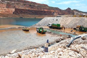
- Dewatering of the Main Pit; and
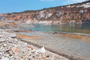
- Repairs and remediation to the existing footwall.
Geomotion Works
Geomotion was contracted for the supply, installation, maintenance and support of the geotechnical instrumentation that was installed in the seawall rock fill embankment constructed at Koolan Island. The project aimed to reconstruct the seawall of Main Pit in order to resume large scale iron ore production.
The scope consisted of two phases of work spanning fourteen months. Instrumentation supplied, installed, and monitored by Geomotion consist of:
- Borehole inclinometers, to monitor lateral movement of the embankment and foundation;
- Borehole extensometers to monitor vertical movements at various depths within and beneath the fill;
- Survey markers, to monitor vertical and horizontal movements on final and temporary fill surfaces; and
- Vibrating wire piezometers, to measure excess pore water pressure with the soft cohesive soils of the foundation.
All instruments have been connected to wireless data loggers which transmit data to a hosting platform for remote interpretation.


