Australian based geotechnical monitoring group Geomotion, has successfully come to a heads of agreement with SkyGeo for their cutting edge InSAR satellite monitoring technology to be used in Australia, Singapore, Malaysia, Myanmar and Indonesia.
Geomotion sees InSAR as complementary to existing instrumentation, not as a replacement, working so well together to offer their clients information that has previously been nearly impossible to obtain.
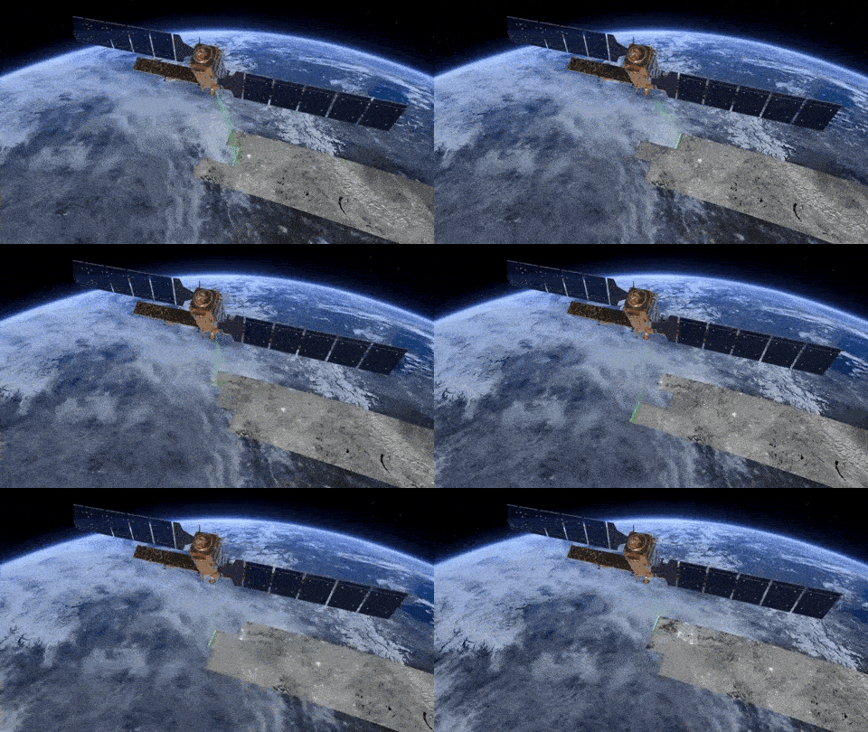
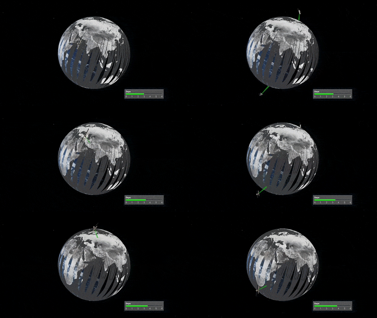
InSAR stands for Interferometric Synthetic Aperture Radar and is a proven technique for measuring ground movements. Satellites record images of the Earth, and these images can be combined to measure movements of the ground surface.
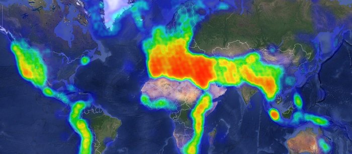
InSAR is particularly useful for monitoring dynamic position changes. InSAR’s broad spectrum of impressive features allow for a new depth of insight for projects. A large number of measurements and weekly updates provide a detailed insight in the slope and speed of subsidence. A sudden drop of a small area might be a reason for local inspection. Wider gradual subsidence tells a different story.
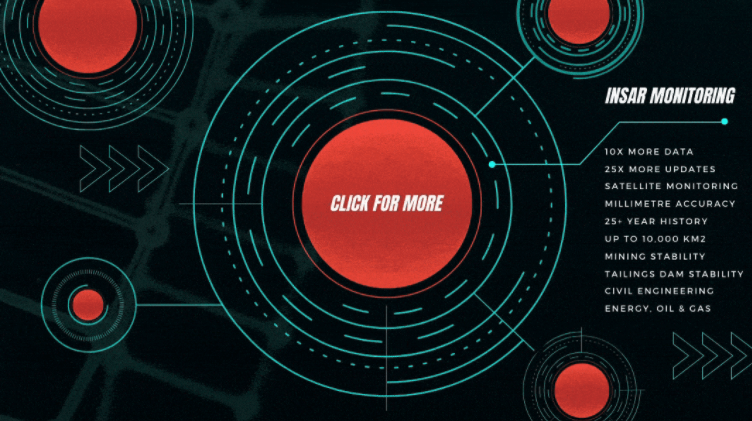
InSAR allows for possible millimetre accuracy, measurements of areas as small as 100m2 up to 10,000km2 and up to 100,000 measurements per km2. Additionally, the data archive goes back to 1992 and covers 70% of the Earth’s land, meaning in some cases it is possible to have data dating back up to 25 years.


InSAR presents viable and important solutions across many industries, including Mining Stability, Tailings Dam Stability, Civil Engineering and Energy, including oil and gas projects both onshore and offshore.
Mining stability monitoring is a service to provide persistent geotechnical risk surveillance to identify areas of abnormal surface movement over time. Mines need to be up and running 24/7 and Geomotion helps achieve that goal by identifying instabilities early. By assessing time-dependent shape changes in InSAR data, geotechnical domain experts can identify patterns of instabilities.
This is a direct pathway to improve asset management in mining operations. Combined with strategically placed geotechnical or structural instrumentation a comprehensive monitoring plan is established.
Each mine has several areas of high geotechnical risk, that each require dedicated iterative assessment. Tailings dams pose a special category of risk. Because of environmental issues in the recent past, most mining experts are now looking for continuous monitoring systems to predict instability better. Solid tailings are often used as part of the structure itself and with the tailings being liquid or a slurry of fine particles within groundwater, significant instabilities arise in a variety of ways that are usually not completely understood.
With InSAR, Geomotion can help with this understanding. We characterise and quantify these time-dependent degradation processes on a wide area scale and identify different dynamic patterns. Monitoring these patterns continuously is a proven permanent risk management method.

Geomotion/SkyGeo JV configures InSAR monitoring solutions for their clients, each with a graph of deformation over time. Risk management practitioners use this for predictive maintenance. Geomotion/SkyGeo JV monitors subsidence for many civil engineering projects in this way including roads, railways, dams, bridges, tunnels, airports, pipelines, neighbourhoods, sewage systems, buildings and water defence.

InSAR technology is available from the Geomotion/Skygeo JV now. Enquiries regarding how InSAR can benefit your project can be made today by contacting Geomotion’s offices.
